Tree Mapping

Today, we began our 2015 citizen science project, Tree Mapping! After some logistical planning and test runs, seven volunteers started the yearlong project of cataloging and digitally mapping the trees of Glen Providence Park, using PhillyTreeMap, a subsection of the worldwide OpenTreeMap. Thus we are contributing to a worldwide database of trees.

Keys to tree mapping — tree ID guides, smart phones, and measuring tape.
Open Tree Map
There are many great aspects of OpenTreeMap, one of which is that it’s now available on smartphones, which enabled us to more quickly enter the tree data. You can see the progress we’ve made by visiting this here PhillyTreeMap page. By entering not only the species but the tree circumference, we can track how much carbon each tree is sequestering, how much stormwater is filtered, and several other ecological benefits of trees.
Discoveries
Today we mapped nearly 20 trees, including some absolutely huge Osage Orange trees (Maclura pomifera) along the sledding hill and a Black Oak (Quercus nigra) with a 40-inch diameter! We bagged three new species for our Tree List, Acer negudo, commonly knows as the Box Elder or Ash-Maple tree, Pinus resinosa, Red Pine and Quercus nigra or Black Oak.
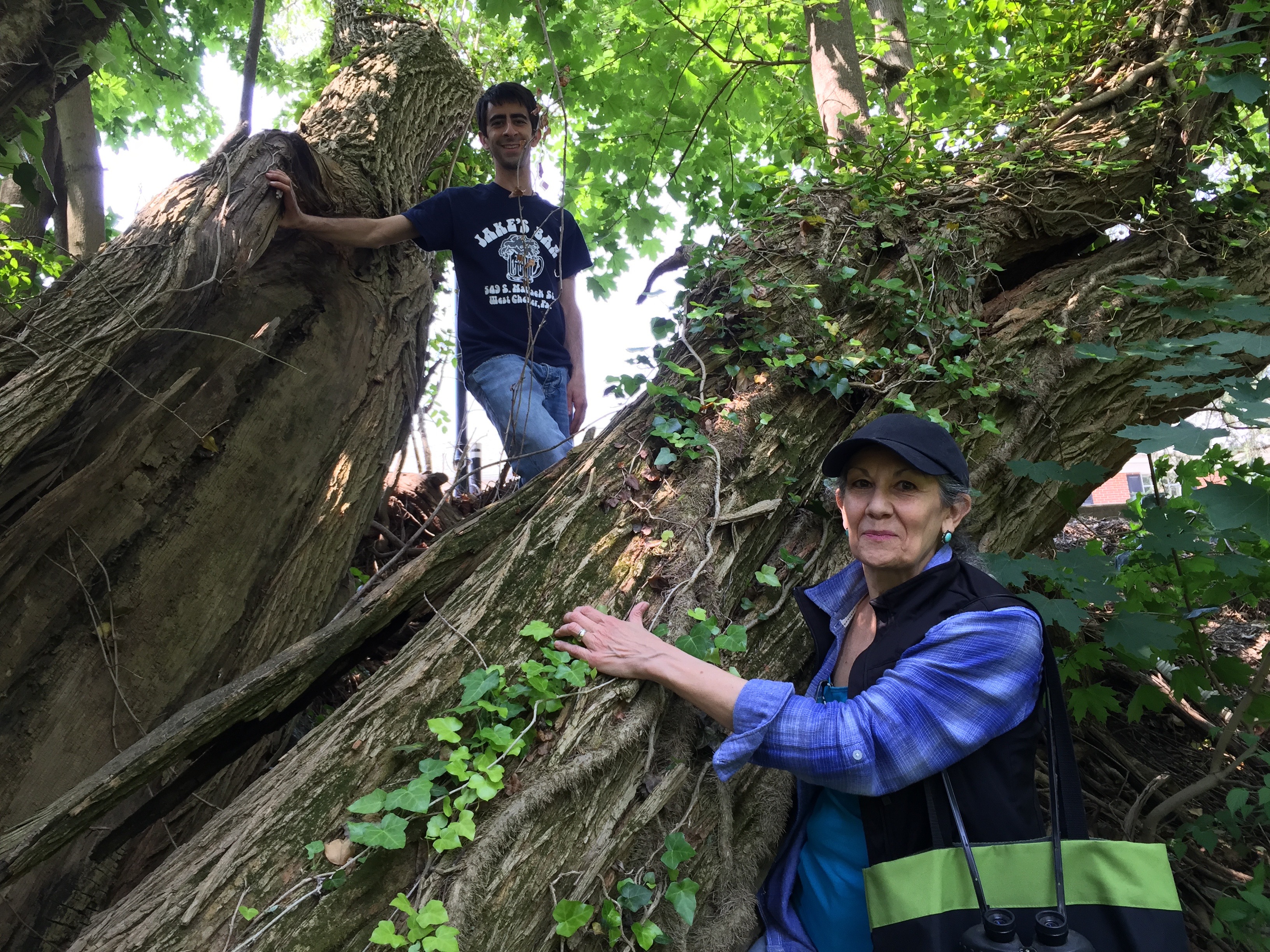
Dan and Marcia marvel at this huge split Osage Orange!
Thank you!
Thanks to all of our volunteers today, and if you’d like to join us on our next excursion (no experience necessary!), please email us at contactATglenprovidencepark.org.
Related Posts
Tags
Share This


Recent Comments